My hike in a nutshell
| Type: | Out-and-back, summit hike |
| Location: | Stellenbosch, South Africa |
| Start/Finish: | Mostertsdrift (official trail starts at the Coetzenburg Athletics Stadium) |
| Distance: | 14.3 km |
| Hiking time: | 4 hr 37 min |
| Elevation gain: | 1124 m |
| Elevation range: | 158–1156 m |
| Average pace: | 3.1 km/hr (19 min/km) |
| Difficulty: | Difficult |
Stellenboschberg
Stellenboschberg is a prominent sandstone peak rising above the university town of Stellenbosch, the second‑oldest town in South Africa and the heart of the Cape Winelands. Stellenbosch sits in a fertile valley shaped by the Eerste River, surrounded by historic wine estates, oak‑lined streets, and a ring of mountains that frame the valley.
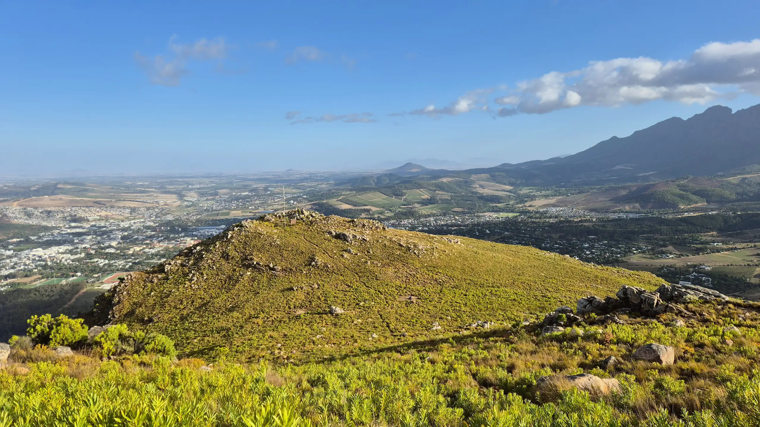
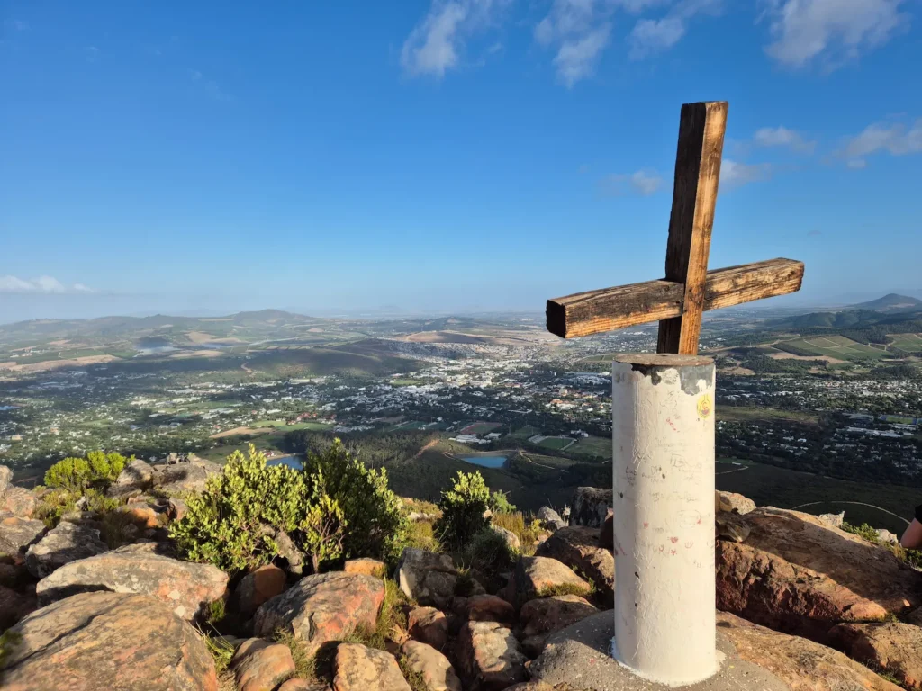
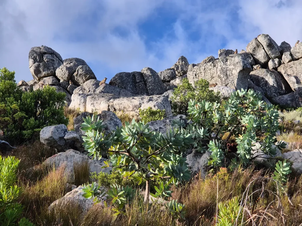
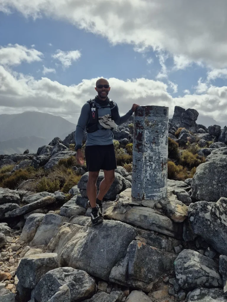
The lower slopes of Stellenboschberg are covered by a mix of plantation forestry and indigenous fynbos, while the upper sections narrow into steep, rocky sandstone ridges. At 1156 m, the summit offers 360‑degree views over Stellenbosch, the Jonkershoek Valley, and the surrounding vineyards. On a clear day, the panorama extends across the Cape Flats to False Bay, with Table Mountain and Lion’s Head visible on the horizon.
Its proximity to town and the university makes Stellenboschberg a popular destination for hikers and trail runners.
The Stellenboschberg Trail
This was my second hike in as many days during what was supposed to be a short rest after the 13 Peaks Challenge. I’d completed the Jonkershoek Loop and Panorama Circuit in Jonkershoek Nature Reserve the day before, and I was keen to get back on the trail. I’d read that Stellenboschberg was an enjoyable outing and, given its proximity to where I was staying, I felt I should hike it.
The most popular route to the summit begins at the Coetzenburg Athletics Stadium at the university, with an out-and-back distance of roughly 12 km.
Because Stellenbosch is a fairly small town, I walked to the stadium from my Airbnb in Mostertsdrift, adding a couple of kilometres to the total distance. I set off around 6:40 AM and followed a pleasant stretch along the Eerste River before reaching the trailhead at the stadium.
The trail began on a jeep track that climbed steadily into the lower foothills of the mountain. The first landmark was “Tweede Kruis” – Afrikaans for “Second Cross” – about 3 km from the stadium. This is a popular turnaround point for those looking for a shorter hike.
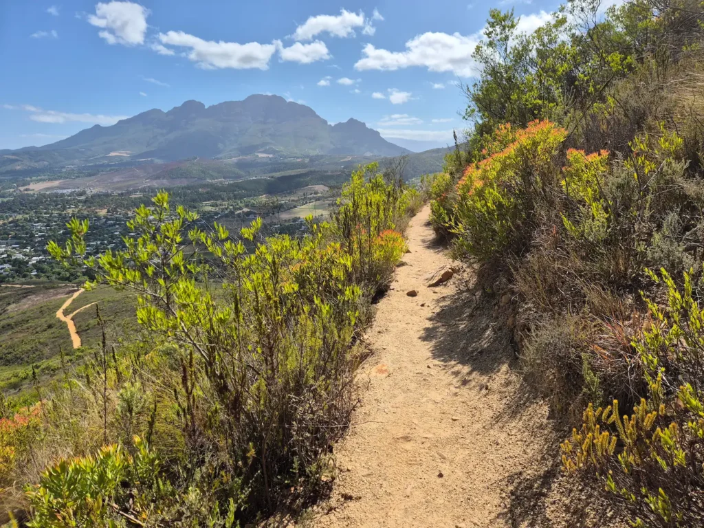
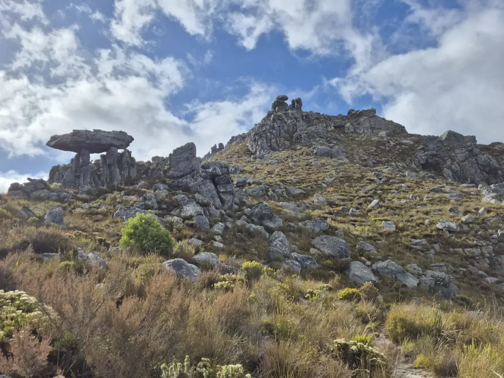
Beyond this point, the trail became steeper and shifted onto a rugged single track that followed the mountain’s main ridge. The upper section involved a sustained climb with loose sandstone, sharper gradients, and a few false summits. The path wove through rocky outcrops and occasionally required light scrambling.
The final stretch crossed a boulder‑scattered plateau where the trail faded, but the views expanded quickly on the approach to the summit.
Final thoughts
Stellenbosch is more than its wine estates. It’s a town where steep mountains rise directly behind quiet oak-lined streets and riverside paths. Stellenboschberg captures that contrast well: a challenging climb that begins in the suburbs and ends with wide views over vineyards, valleys, and distant peaks.
If you have a spare day in Stellenbosch and want something beyond wine tasting, a hike up Stellenboschberg is a rewarding way to experience the landscape.