This daily hiking log is part of an eight-day series following my wife and me on a 140 km hike through Tuscany. You can find the full story and logs for the other days on the Tuscany page.
My day in a nutshell
| Start: | Montalcino |
| Finish: | San Quirico d’Orcia |
| Distance: | 12.4 km |
| Hiking time: | 3 hr 24 min (including stops) |
| Elevation gain: | 332 m |
| Elevation loss: | 466 m |
| Elevation range: | 227–541 m |
| Difficulty: | Moderate |
Leaving Montalcino
This was our shortest day on the trail, both in distance and time, and also our latest start. We enjoyed a slow breakfast overlooking the valley before packing up.
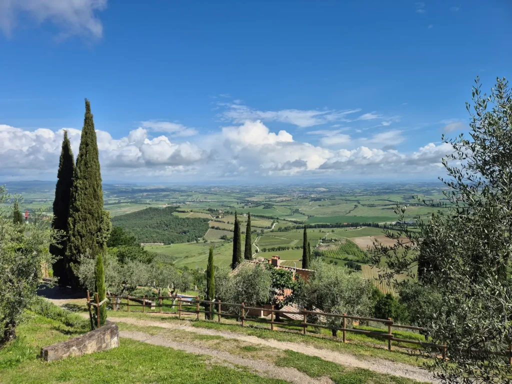
The plan was to follow an unmarked trail and rejoin Stage 94 of the Via Francigena a couple of kilometres before reaching San Quirico d’Orcia. We would also be leaving the Val d’Arbia and entering the UNESCO-listed Val d’Orcia, where the landscapes shift from lower clay plains and gently rolling hillsides to grander, more sculpted ridges and wave-like hills.
Before leaving town, we went to the nearby Coop supermarket to buy snacks for the day – the usual assortment of bread, ham, cheese, and any small treats that caught our eye. We had finally learned to carry some food, just in case the route lacked services.
The forecast suggested more sun, so we expected similar weather to the day before. The day, however, unfolded quite differently.
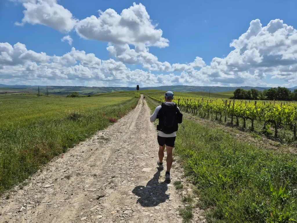
We returned to our guesthouse, picked up our packs, and set off a few minutes before 10 AM, heading north down Montalcino’s stone-paved streets for several hundred metres. From there, we turned east and continued down a steep gravel track towards the valley floor, leaving the town’s hilltop setting behind.
Montalcino to San Quirico d’Orcia
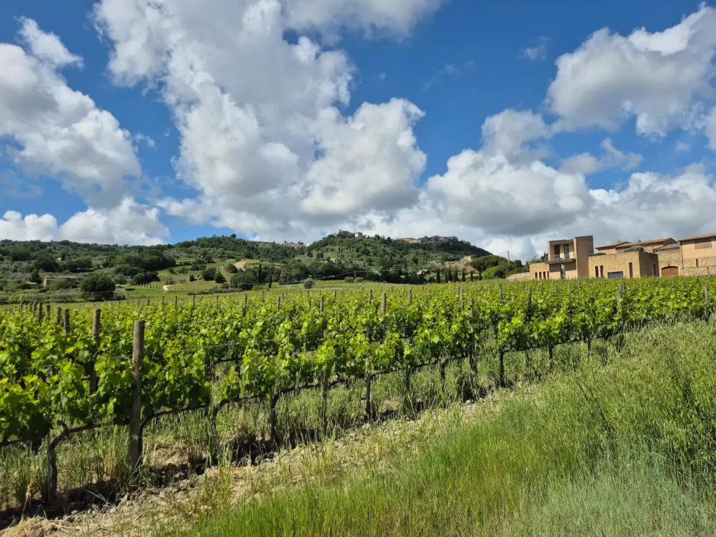
Shortly after crossing the SP45 provincial road at around the 2 km mark, we walke on a single farm track through vineyards and wheat fields. The views looking back at Montalcino, perched on its hill, were striking.
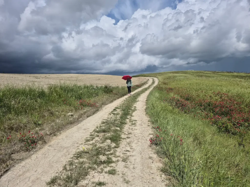
Less than an hour into the hike, dark skies began to form. Although we had a relatively short distance to cover today, it seemed unlikely we would reach San Quirico d’Orcia before the rain arrived.
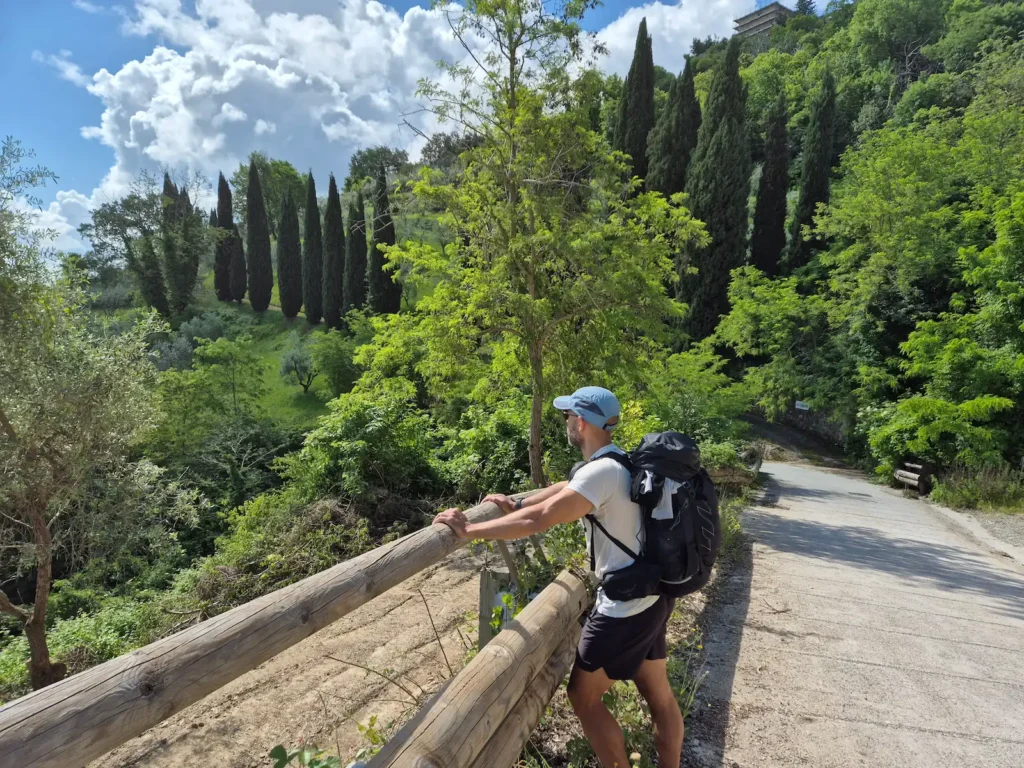
Over the next 8 km we passed several farm-track junctions and forks in the road. We were following an unmarked trail designated “2”, and the GPX file I had downloaded from waymarkedtrails.org guided us along the correct branches. Without it, we would have struggled to choose the right path.
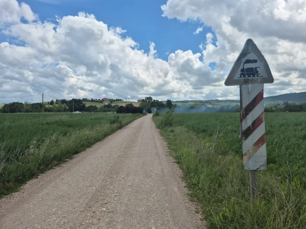
At the 4 km mark the route joined the SP14 provincial road, and we walked along tarmac for 500 m before returning to a farm track. We crossed train tracks a few kilometres later. Just before the 9 km mark, as we reached the Fosso di Fonte Calda pond, we felt the first drops of rain. Hoping it would be a light drizzle, we raised our umbrellas and kept walking. The rain intensified five minutes later, so we put on our jackets.
We rejoined the Via Francigena shortly before the 11 km mark, where we found a large boulder to sit on and take a short break. It was another day with no services or benches. It was almost 1 PM and, despite the rain and lack of shelter, I was ready for the snacks in my pack.
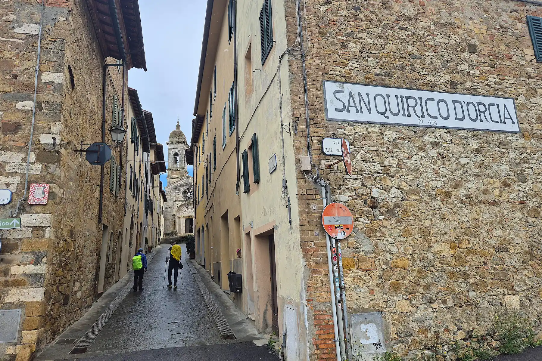
We reached San Quirico d’Orcia about half an hour later, just before 1:30 PM, as the rain finally eased. Even with the wet weather, it had been a pleasant walk through quiet farmland, with Montalcino’s hilltop profile visible behind us for much of the day.
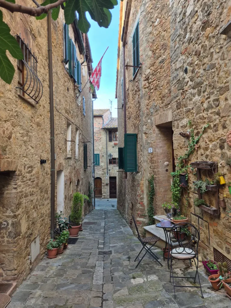
Our route passed near the Cypresses of San Quirico d’Orcia, a well-known cluster of cypress trees perched on a small hill and one of the most photographed locations in Tuscany – and possibly one of the most photographed groups of trees in the world. Many people drive to a nearby car park and walk up the hill for photos. Although it would have added only about 800 m to our day, we chose to skip it, having already walked along plenty of cypress avenues.
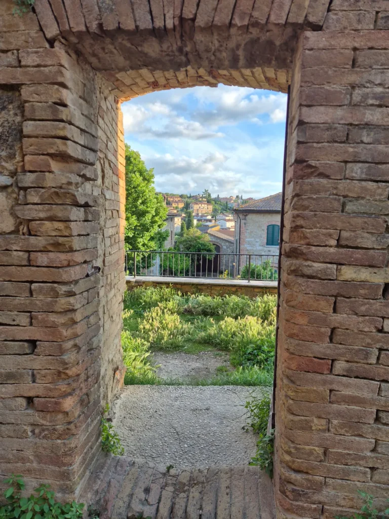
San Quirico d’Orcia
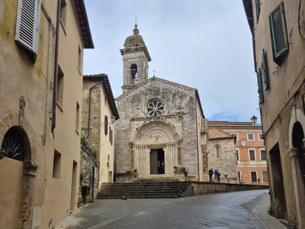
First recorded in the early 8th century, San Quirico d’Orcia developed around its Romanesque collegiate church as an important outpost guarding the approaches to Siena. Its position on the Via Francigena made it a natural place for rest, trade, and diplomacy, drawing emperors, church officials, and merchants.
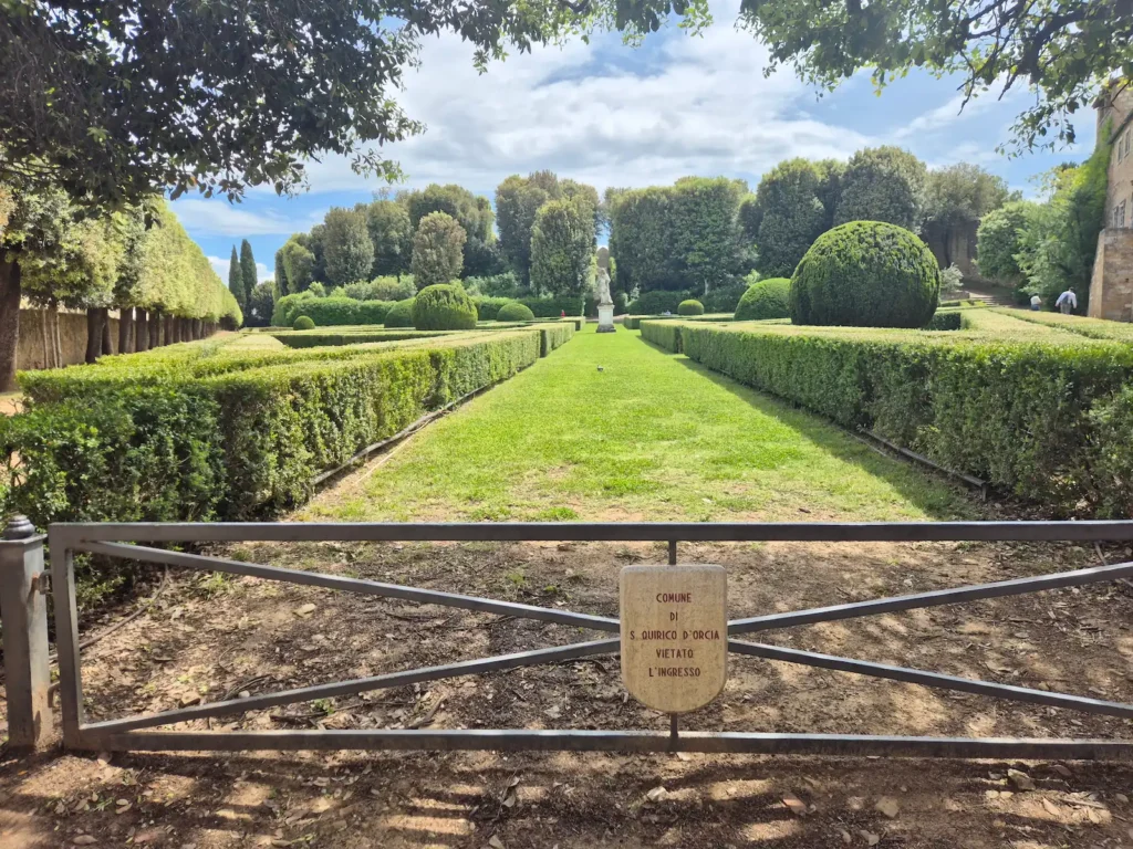
Today, it remains a well-preserved fortified settlement enclosed by its 14th-century stone walls. Just inside lies the Horti Leonini, a late‑16th‑century public garden with geometric boxwood designs. It is one of the town’s most distinctive landmarks, alongside the historic Cassero tower, a 12th-century defensive stronghold that now survives as a ruin at the top of the gardens after being destroyed during World War II.