This daily hiking log is part of an eight-day series following my wife and me on a 140 km hike through Tuscany. You can find the full story and logs for the other days on the Tuscany page.
My day in a nutshell
| Start: | Buonconvento |
| Finish: | Montalcino |
| Distance: | 13.4 km |
| Hiking time: | 3 hr 56 min (including stops) |
| Elevation gain: | 556 m |
| Elevation loss: | 156 m |
| Elevation range: | 143–545 m |
| Difficulty: | Moderate |
Leaving Buonconvento
This was our fifth day on the Via Francigena. Stage 94 runs from Ponte d’Arbia, where we’d had lunch the previous day, through Buonconvento and on to San Quirico d’Orcia, our destination for the next day. Because we chose to end the day in the hilltop town of Montalcino, which lies off the main pilgrim route, we would be leaving the Via Francigena temporarily. Our plan was to rejoin it the following day on the approach to San Quirico d’Orcia.
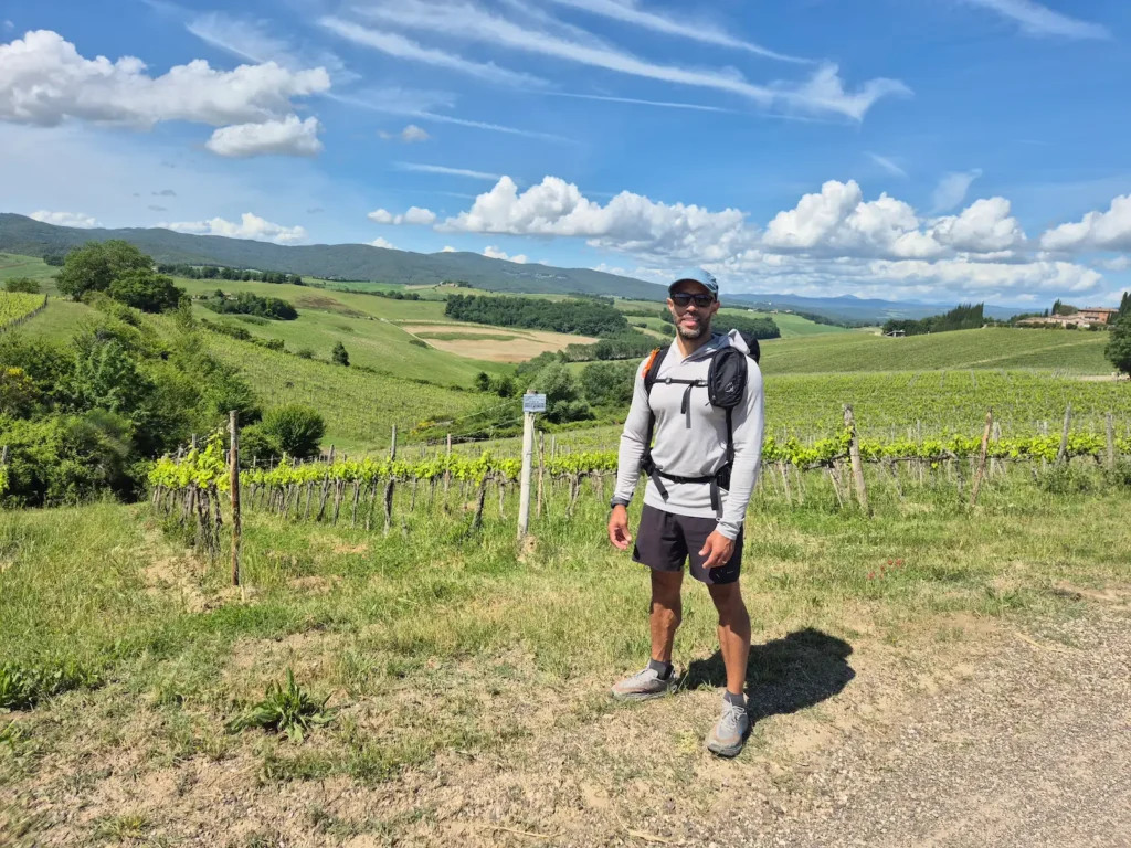
After the long walk the previous day, we were glad to have a much shorter route ahead of us. We allowed ourselves a longer lie-in than usual, not leaving the guesthouse until 9:30 AM.
The morning was already bright and warm, with the early chill mostly gone by the time we stepped outside. Two groups of six hikers were leaving town at the same time – the most we’d seen in one day so far.
Buonconvento to Montalcino
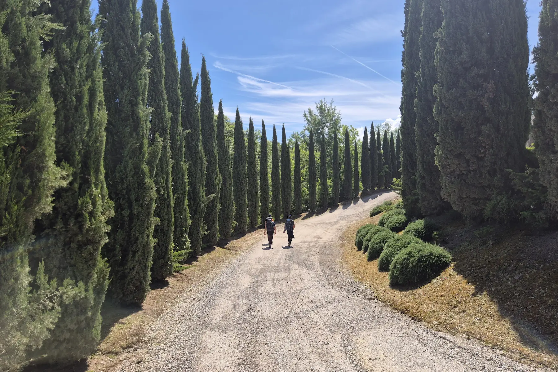
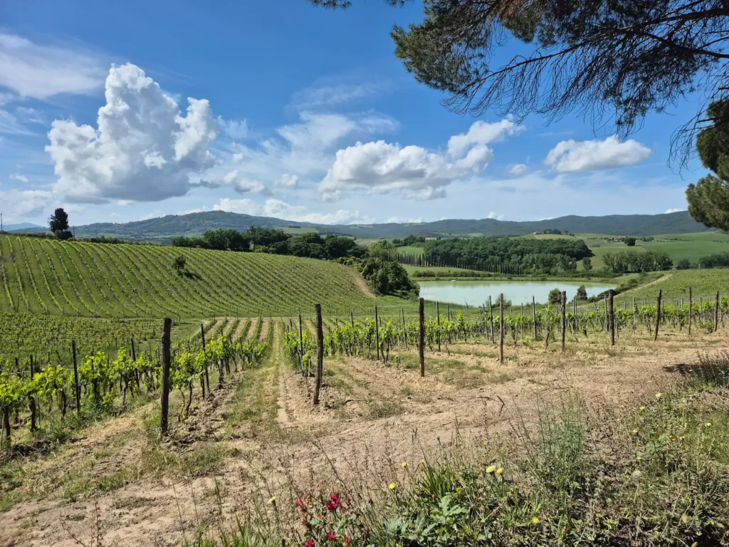
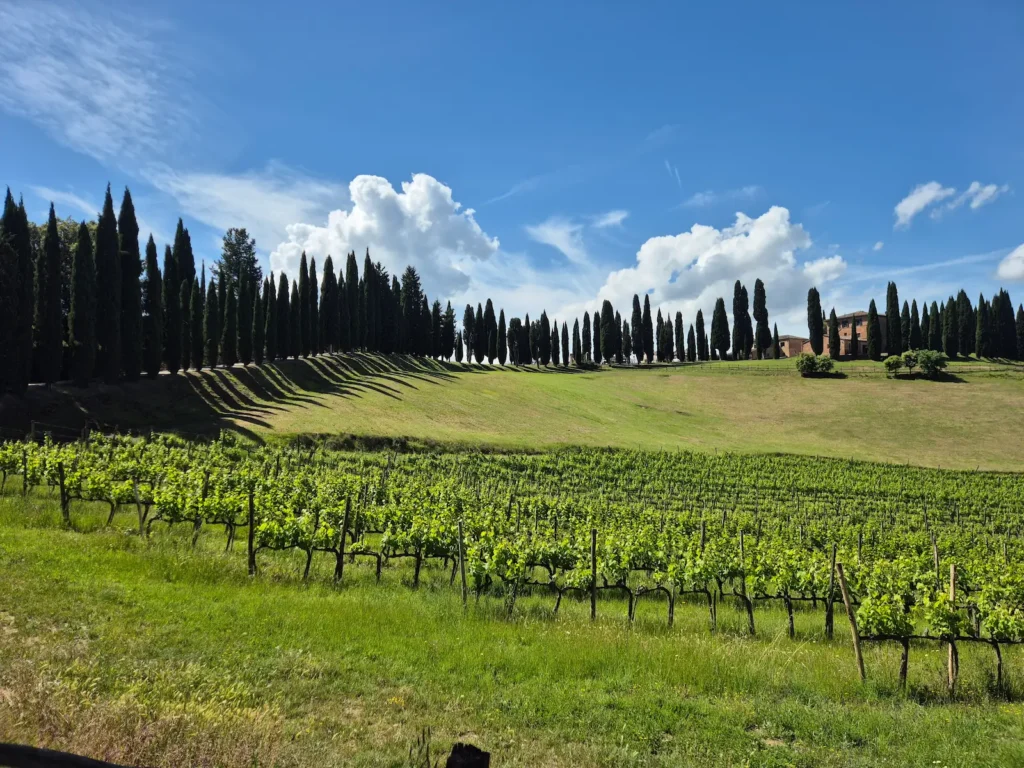
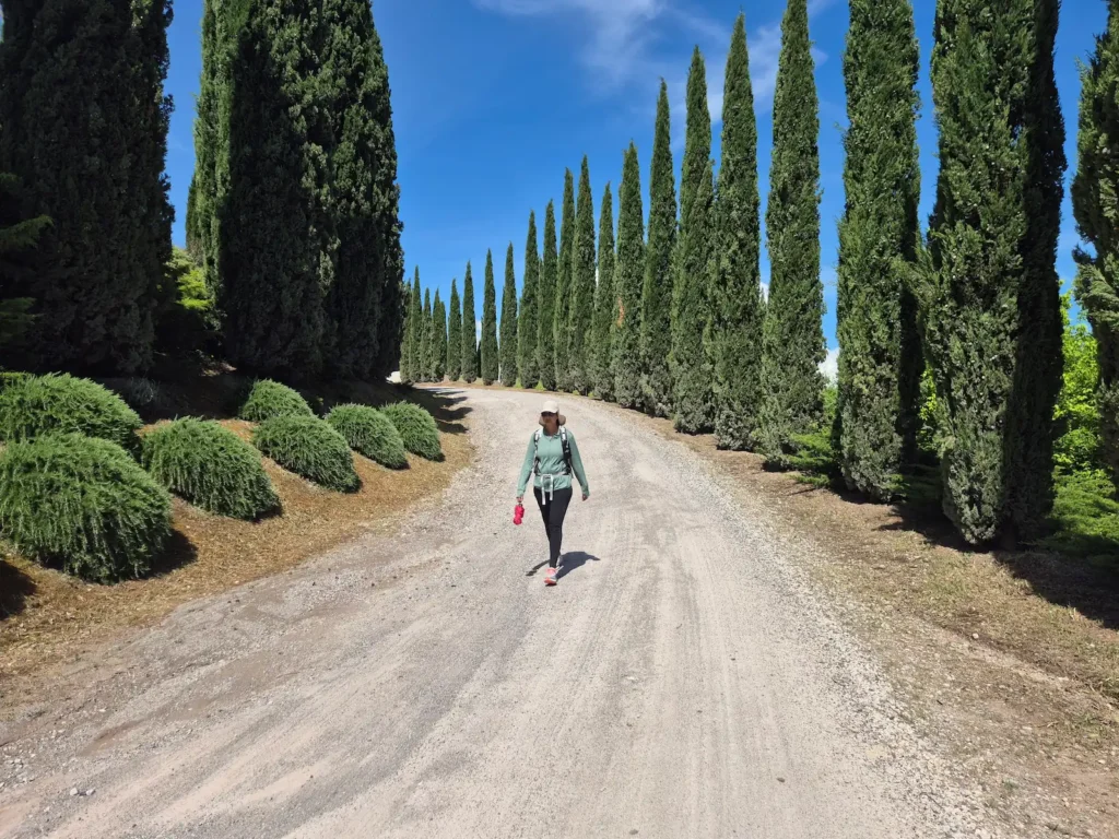
Leaving Buonconvento, the trail led out of the Val d’Arbia and across open plains towards the Val d’Orcia, a UNESCO World Heritage landscape. It was one of the most scenic days so far. We passed several grand wine estates with their cypress-lined gravel drives. A few contemporary sculptures appeared along the trail as part of the Museum of Diffused Art, an open‑air network of artworks placed along the Tuscan section of the Via Francigena.
At the 9 km mark, after five days and 95 km of walking, we branched off the Via Francigena. It was a quietly wistful moment, as we had become used to following the pilgrim markers towards Rome and seeing other hikers on the trail. The main route turned left, and we continued straight past the rural estate of Podere Collodini. Although the trail was unmarked, we were now following the PVO3 towards Montalcino.
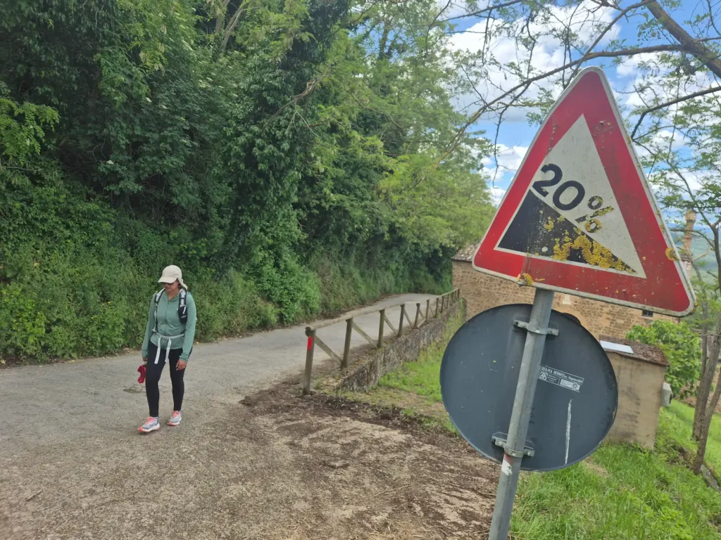
Just before the 11 km mark, after turning onto the Strada Consorziale di Sferracavalli rural road and crossing the Torrente Suga stream, the trail began its steep ascent to Montalcino. It rose 300 m over the next 2.5 km, with gradients of around 20%.
After climbing one final set of steps, we reached our guesthouse just before 1:30 PM, perfectly timed for lunch and a first taste of Montalcino’s famous Brunello wine.
This was our second day of the trip, just like Day 1, with no services along the way. There were a couple of benches outside the wine estates and a water fountain, but not much more.
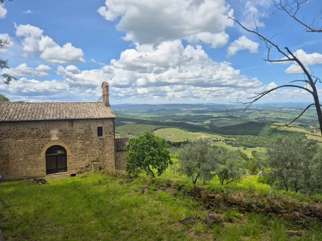
The steep ascent to Montalcino was likely why it never sat directly on the Via Francigena. The medieval route favoured the faster, better-serviced corridor along the valley floor. For us, the historic streets, hilltop setting, and wide views over the valley made the detour worthwhile.
Montalcino
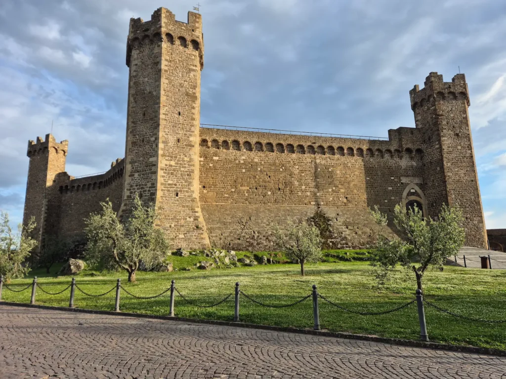
Montalcino is a medieval hilltop town dating to the 9th or 10th century, though its ridge has been settled since Etruscan times, stretching back to the 8th century BC. Its position above the Val d’Orcia made it an important defensive outpost for the Republic of Siena, a role still visible in its 13th-century walls and 14th‑century pentagonal fortress.
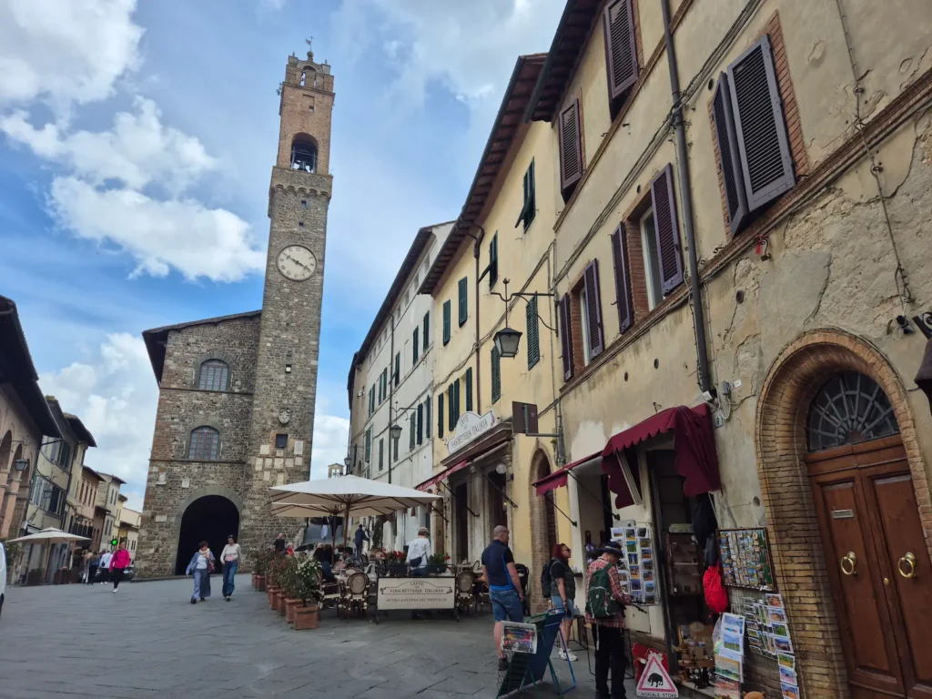
Today, Montalcino is known globally for Brunello di Montalcino, a prestigious, long-aging red wine made exclusively from Sangiovese Grosso grapes grown on the surrounding slopes, and now a major part of the local economy. The historic centre is compact, with steep, narrow cobblestone streets, stone houses, and wide views across the valleys.