This daily hiking log is part of an eight-day series following my wife and me on a 140 km hike through Tuscany. You can find the full story and logs for the other days on the Tuscany page.
My day in a nutshell
| Start: | Monteriggioni |
| Finish: | Siena |
| Distance: | 21.4 km |
| Hiking time: | 6 hr 52 min (including stops) |
| Elevation gain: | 492 m |
| Elevation loss: | 439 m |
| Elevation range: | 237–359 m |
| Difficulty: | Difficult |
Leaving Monteriggioni
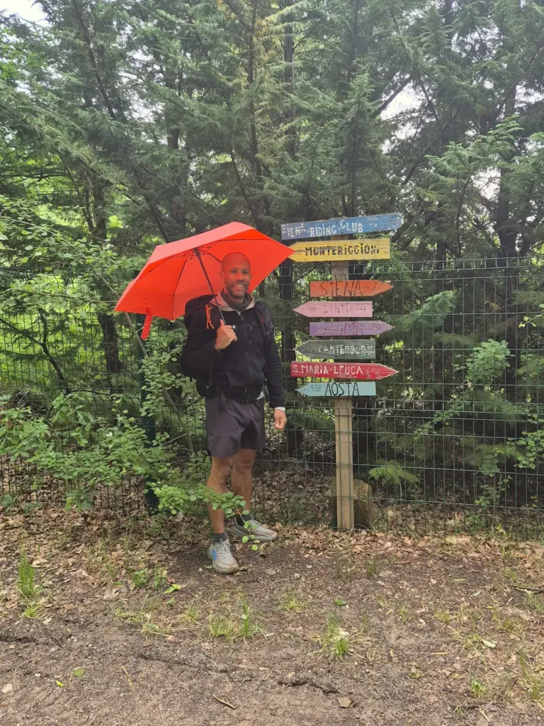
A slow start meant we left our guesthouse later than we would have liked. A storm was forecast for the afternoon, and with more than 20 km ahead of us, it seemed unlikely we’d reach our destination before the rain. We briefly considered taking the bus, but in the end – with a little persuasion on my part – we chose to walk. The weather didn’t seem too bad at that moment, and at least we had our umbrellas.
The plan was to follow Stage 92 of the Via Francigena for the entire day. We finally set off from Piazza Roma, Monteriggioni’s main square, at 8:30 AM. We had arrived the previous day through Porta Fiorentina, the northern gate facing Florence; this morning, we left through Porta Romana, the southern gate facing Rome.
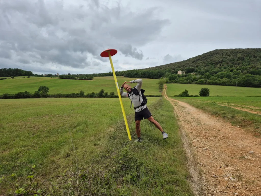
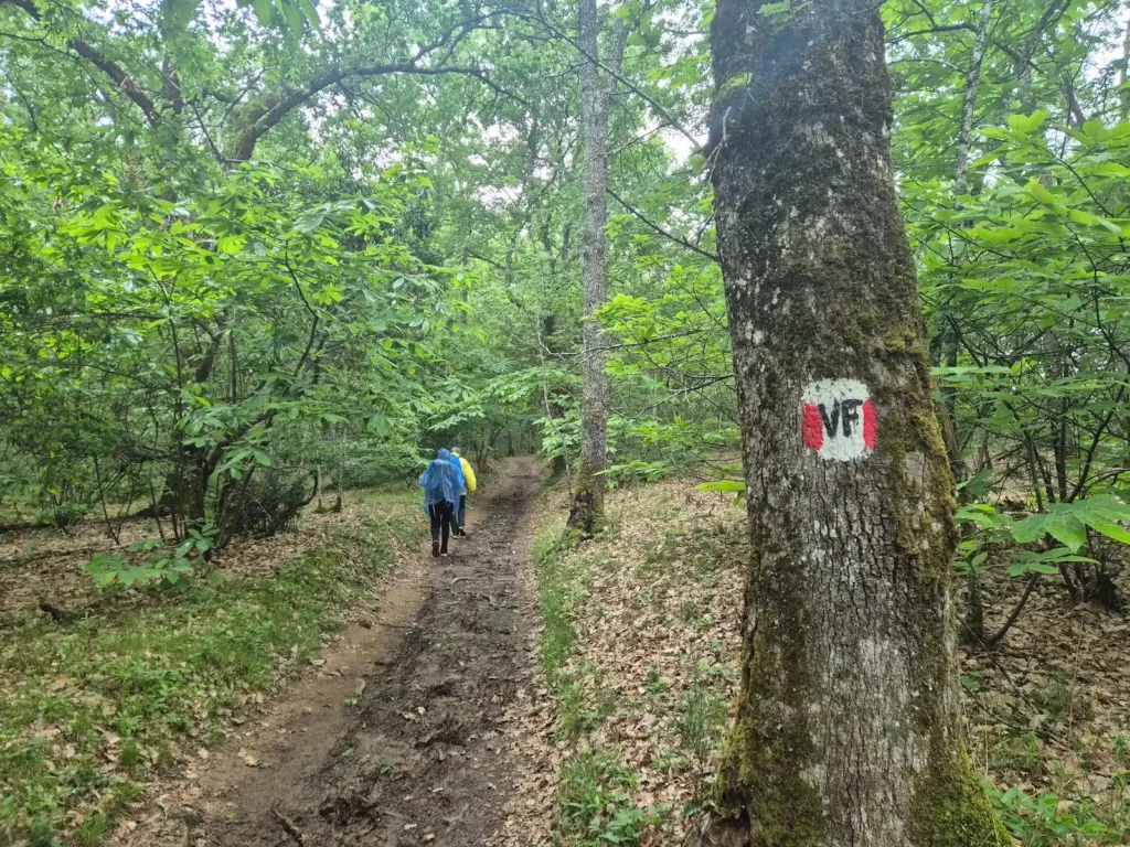
After descending the hill and crossing the SS2 state highway, we joined a gravel track that climbed towards a forest, with clear views of Monteriggioni’s city walls behind us. Although the sky was grey, the day had begun with mild temperatures, and it felt as though we might avoid the worst of the weather. We had to remain optimistic.
Towards Siena
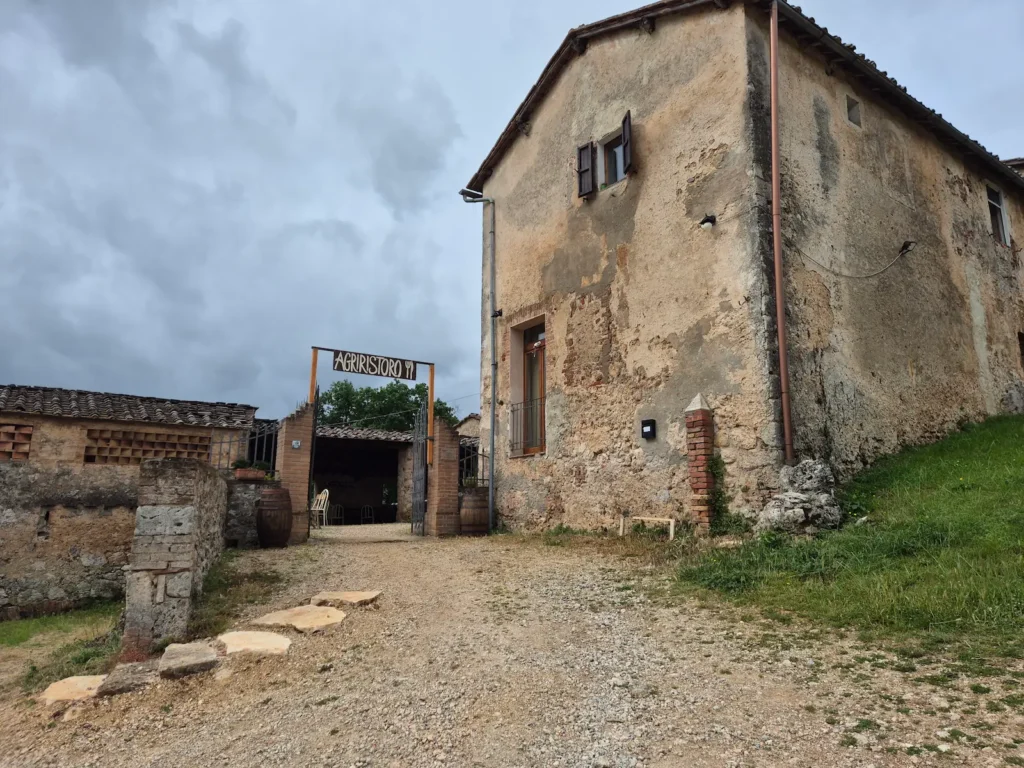
After roughly 6 km, we stopped at Agriristoro Casavecchia, a Tuscan restaurant, for a cappuccino. Our experience over the previous two days had taught us that rest stops further ahead could be scarce. We were torn: enjoy a slow coffee and arrive in Siena a little later, but risk getting caught in a downpour; or drink up and keep moving. We chose the latter.
Around 800 m further down the road, we passed Punto Sosta La Villa, another café and potential place to rest. We had often struggled to find one café, and now two appeared within a kilometre of each other. Typical.
At about the 8.5 km mark, the route joined the SP101 provincial road with no sidewalk for a couple of kilometres, which was the least pleasant stretch of the day. We eventually branched off tarmac, back onto a gravel path and through a forest.
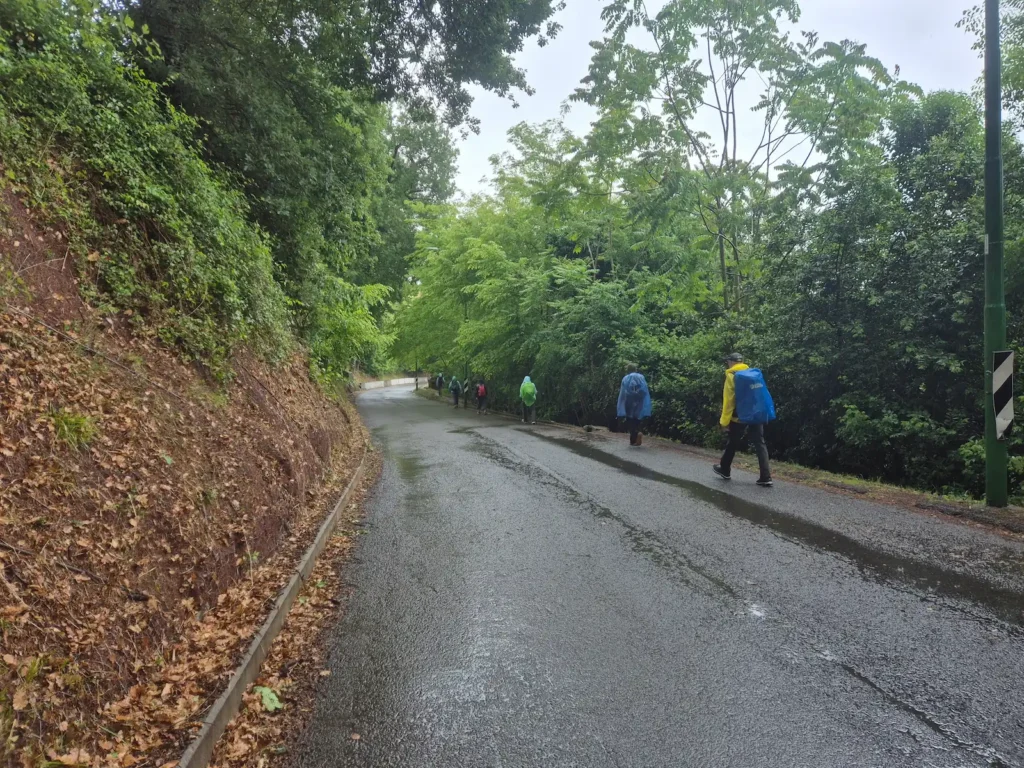
It started raining around noon, earlier than expected. We were still under tree cover, but the muddy ground was becoming slippery. Thirty minutes later, the rain intensified. We took shelter at a small hamlet called Convento Vecchio, put on our rain jackets, and continued on the final 6 km road section towards Siena. The rain showed no sign of easing, and we needed to get closer to town.
After an hour of being soaked, we decided to stop for lunch at Rusticamente Osteria, a small Tuscan restaurant just before Porta Camollia, Siena’s historic northern gate. The restaurant was busy and service was slow, but we didn’t mind – it gave us time to dry off before continuing on the final 2 km stretch into Siena.
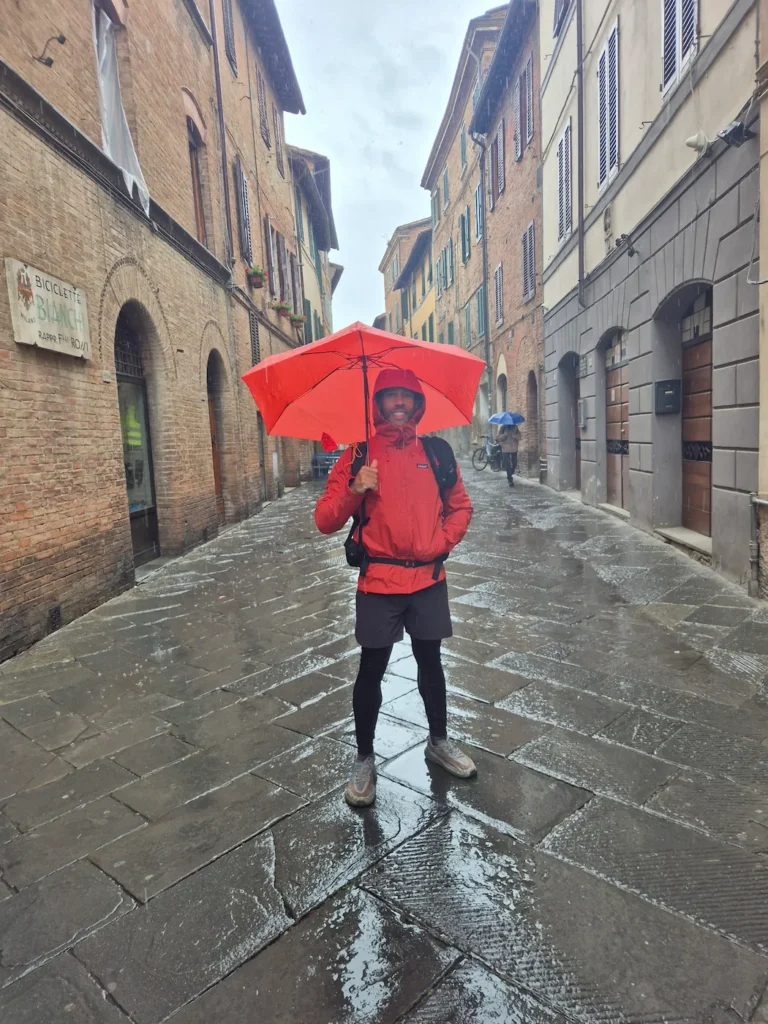
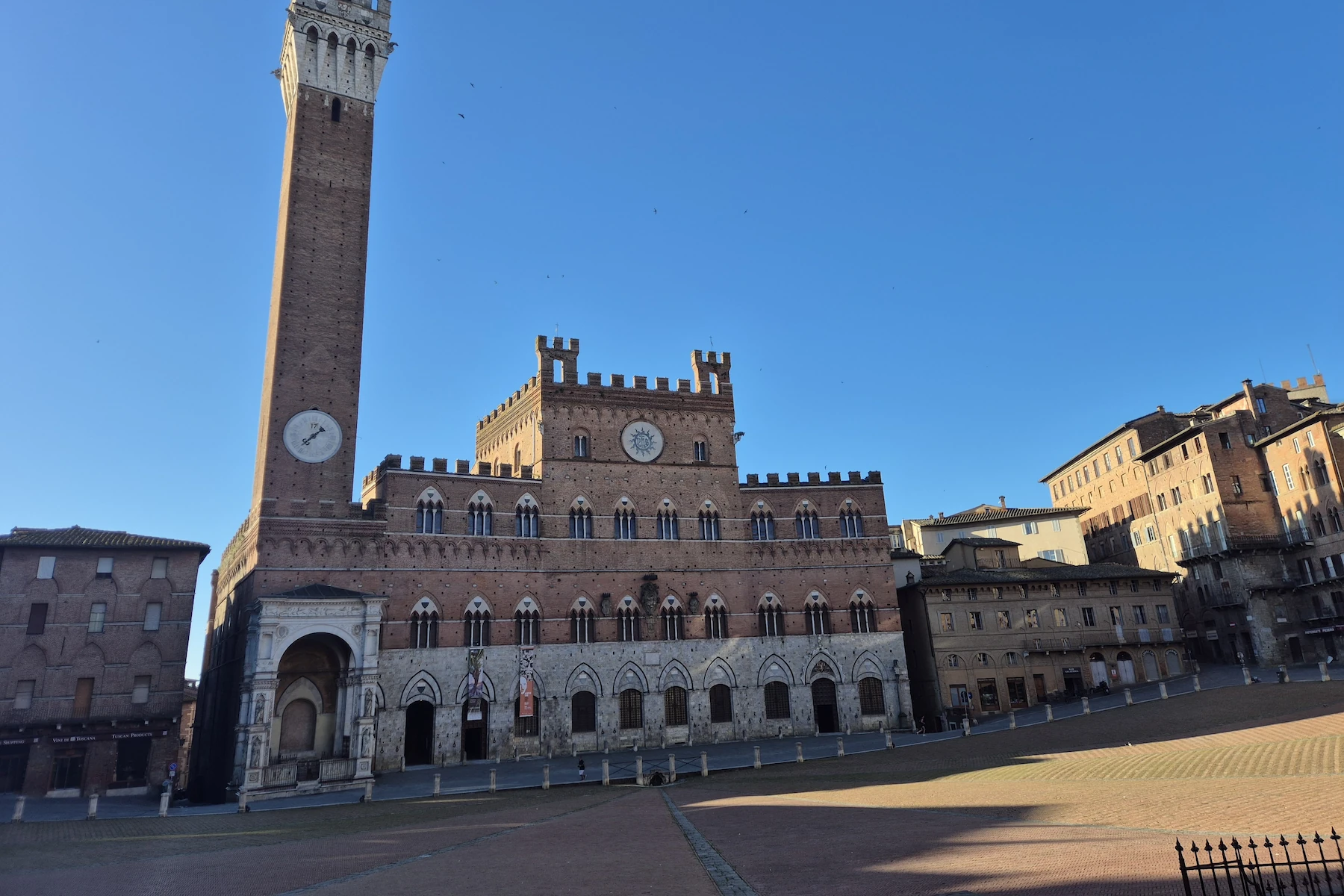
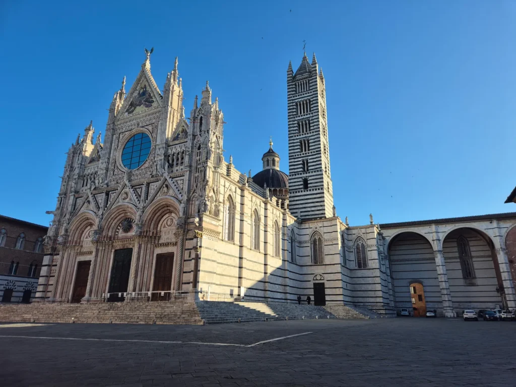
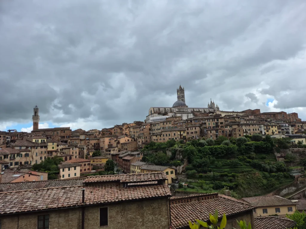
We reached our guesthouse shortly after 3 PM, wet once again. Fortunately, we were only a few hundred metres from Piazza del Duomo, the compact square dominated by Duomo di Siena, the city’s iconic black-and-white striped marble cathedral. With tomorrow as our rest day, this would be our home for the next two nights. It was time to dry off, rest, and take in the sights of Siena.
Siena
Siena rose to prominence in the Middle Ages as one of Tuscany’s most powerful city‑states. Its location on the Via Francigena brought a constant flow of merchants, travellers, and wealth into the city. This helped it become one of the early centres of medieval banking and fuelled a strong economy that allowed Siena to rival nearby Florence.
This prosperity supported the growth of the University of Siena, founded in 1240 and still one of the oldest universities in the world. The city’s medieval golden age produced its iconic landmarks – such as Piazza del Campo, the Palazzo Pubblico, and the striped cathedral – that shape its distinct artistic identity.
Siena’s fortunes shifted after the Black Death of 1348, which sharply reduced its population and weakened its economy. Political instability followed, and in 1555 the city fell to Florence after a long siege, ending the independent Republic of Siena. It later became part of the Grand Duchy of Tuscany, preserving much of its medieval character even as its political influence declined.
Today, Siena is home to a UNESCO-listed centre known for its exceptionally well-preserved medieval architecture.