This daily hiking log is part of an eight-day series following my wife and me on a 140 km hike through Tuscany. You can find the full story and logs for the other days on the Tuscany page.
My day in a nutshell
| Start: | San Quirico d’Orcia |
| Finish: | Pienza |
| Distance: | 15.2 km |
| Hiking time: | 5 hr 45 min (including stops) |
| Elevation gain: | 440 m |
| Elevation loss: | 361 m |
| Elevation range: | 262–524 m |
| Difficulty: | Moderate to Difficult |
Leaving San Quirico d’Orcia
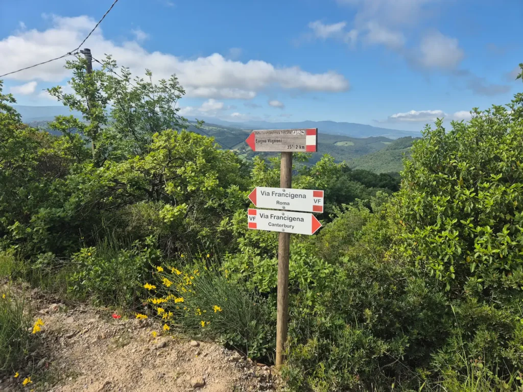
We had briefly left the Via Francigena on Day 5 and rejoined it on Day 6. Our plan for Day 7 was to follow Stage 95 of the pilgrim route for about 6 km, before leaving it for the final time at Bagno Vignoni, a touristic village known for its ancient thermal pool and natural hot springs.
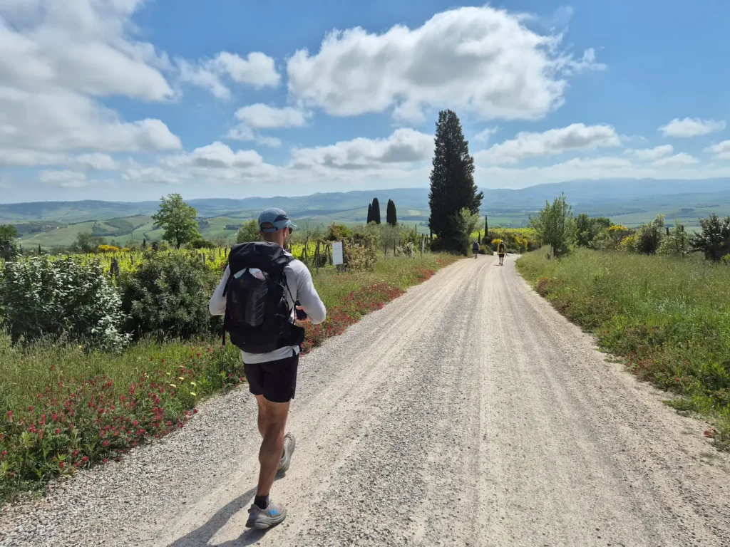
We set off from Collegiata di San Quirico, the Romanesque church in the centre of Quirico d’Orcia, shortly after 8:30 AM. The day began bright and sunny, and with no rain in the forecast we were hopeful that, unlike the day before, it would stay that way.
On the way out of town, we stopped again at a Coop supermarket to buy food for the day. The previous day’s approach had worked well, and we decided to stick with it, even though we would be passing through Bagno Vignoni.
San Quirico d’Orcia to Bagno Vignoni
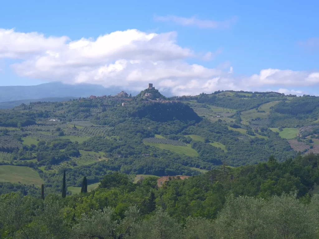
After 3.6 km and a short ascent, we reached Vignoni Alto, an 11th-century hilltop village with a medieval castle, cobbled streets, and sweeping views over the Val d’Orcia.
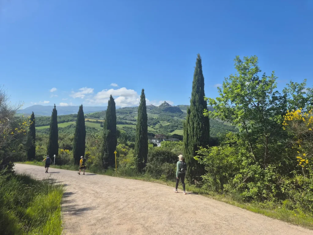
Following a brief pause to take photos, we continued along a gravel road and descended the hill. To the south were clear views of another medieval hilltop village on the opposite side of the valley, Rocca d’Orcia. The Via Francigena passes close to the village, but it lay well off our route as we would be branching off the pilgrim trail shortly.
Around 800 m further on was Tenuta Sanoner, a wine estate that had provided a public bench and water fountain. It was a welcome feature – we hadn’t seen other properties offer something similar.
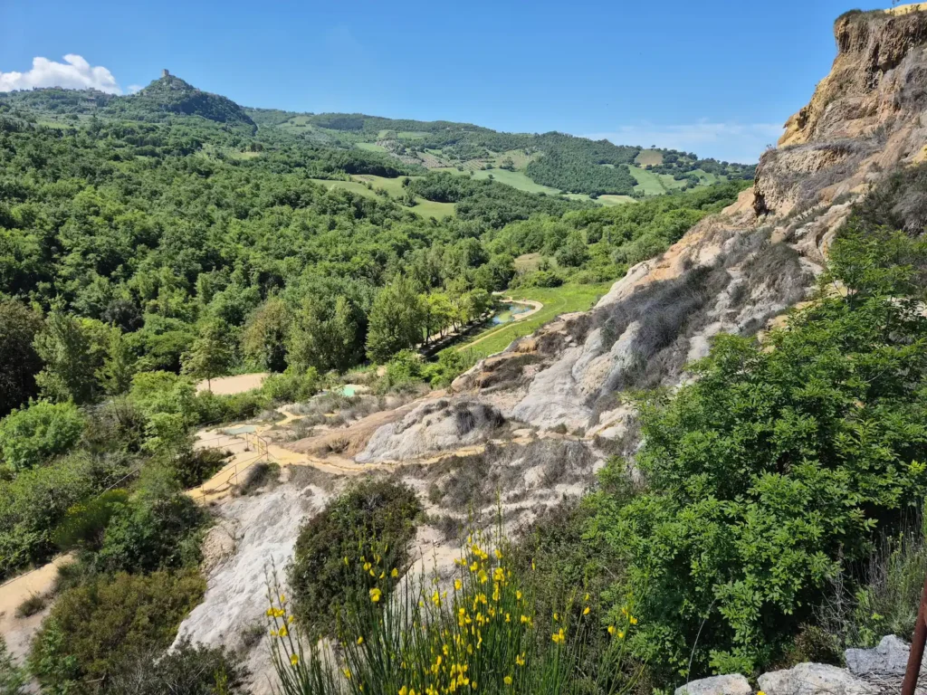
We reached Bagno Vignoni, at the 5.5 km mark, at 10:30 AM. We stopped for a cappuccino and a gelato at a café overlooking Piazza delle Sorgenti, the central square with a large thermal pool dating back to the 16th century. While the pool is a protected monument and closed to bathing, there are free thermal streams at Parco dei Mulini below the village and several spa hotels nearby.
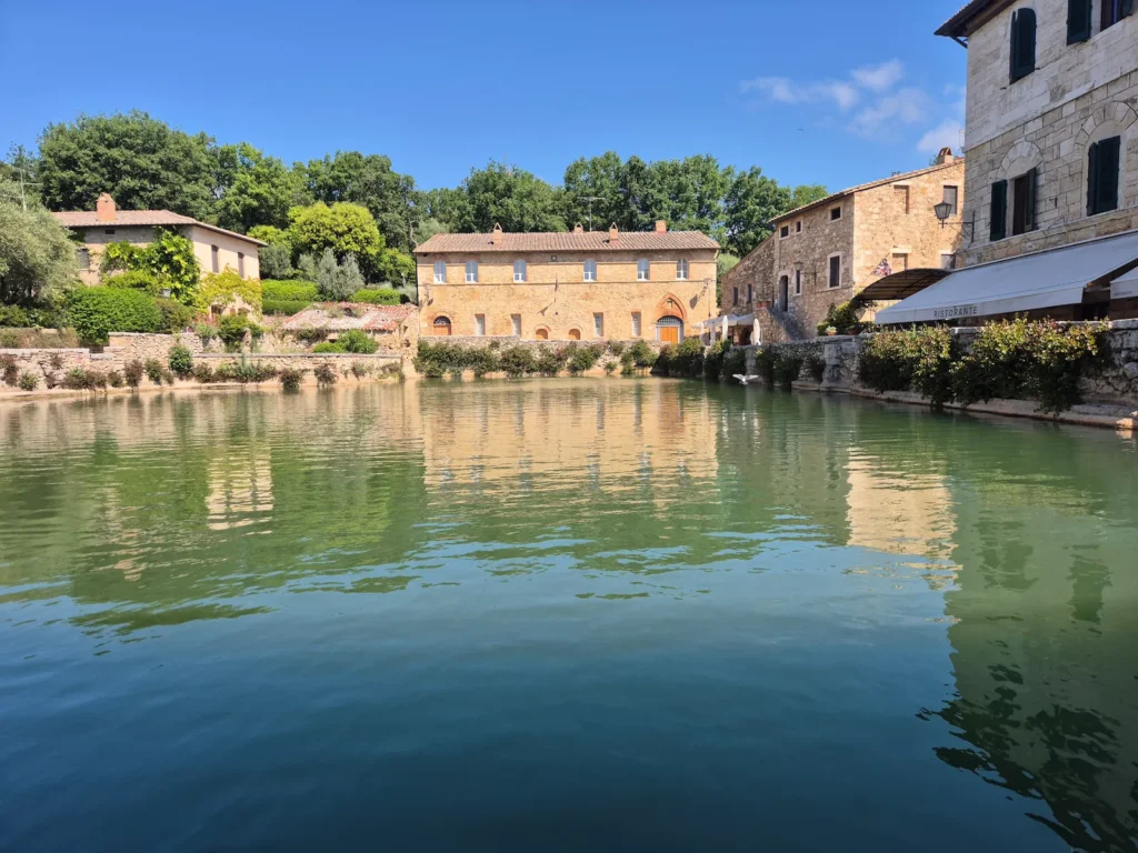
We walked around the village and stopped at a bench in Parco dei Mulini for half an hour to have the snacks we had picked up from the supermarket earlier. We decided against the 400 m descent from the top of the park to the thermal springs, avoiding an 800 m round trip.
With our feet rested and our bodies refuelled, we continued out of Bagno Vignoni towards Pienza.
Bagno Vignoni to Pienza
A short distance after setting off, at the 6.4 km mark, we reached a junction in the trail. The Via Francigena continued south across the Orcia River, while we went east along the river on an unmarked local trail designated SQ15, running from Bagno Vignoni to Pienza. After a combined total of 103 km on the trail, we left the pilgrim route for the second and final time.
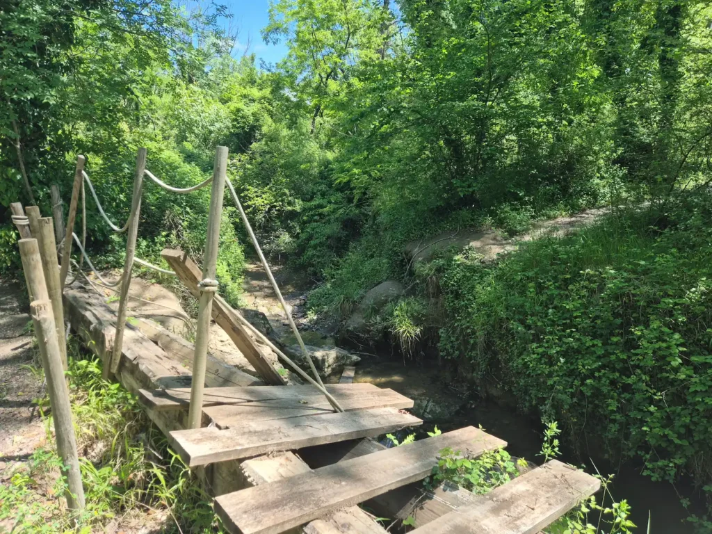
Around 600 m along our new trail we reached a dead end. The footbridge over the Fosso Rigo stream had collapsed and the path had been cordoned off. Rather than scramble across the stream, we backtracked 100 m to join the main road.
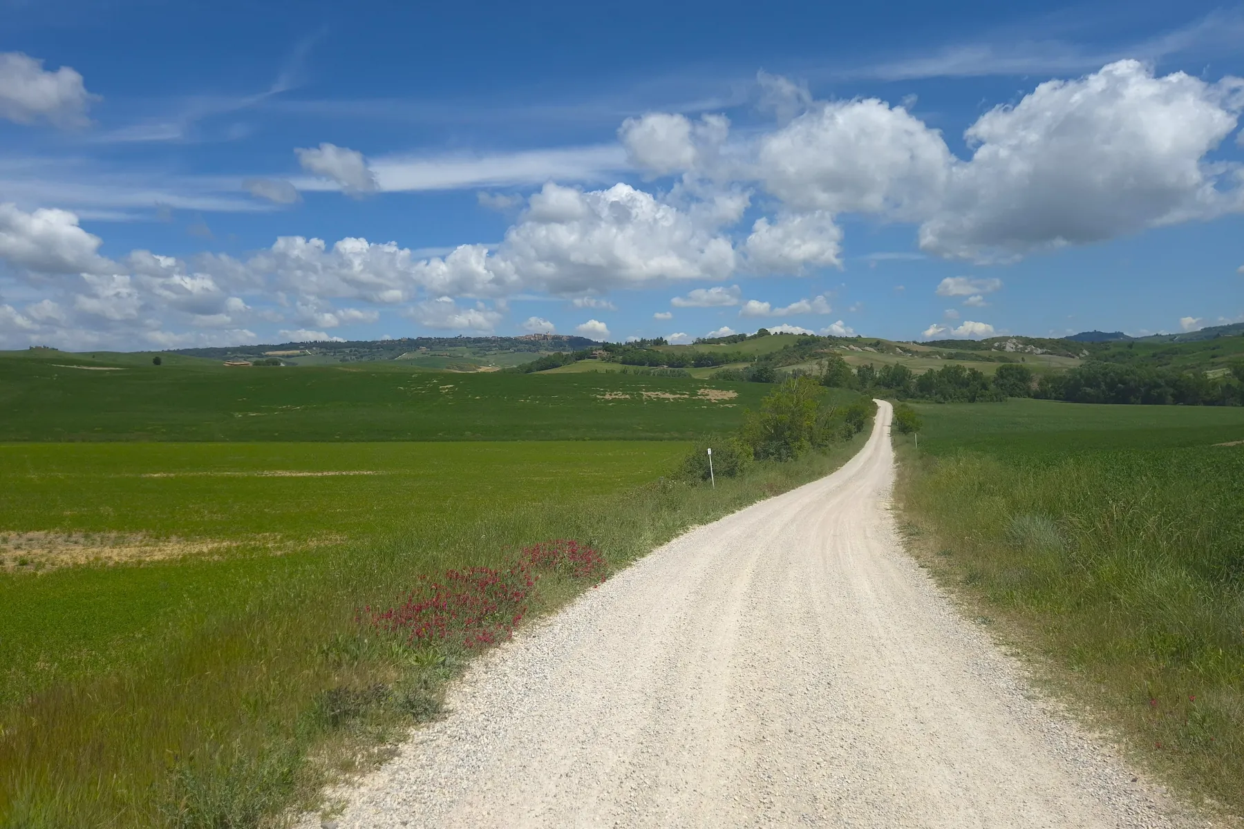
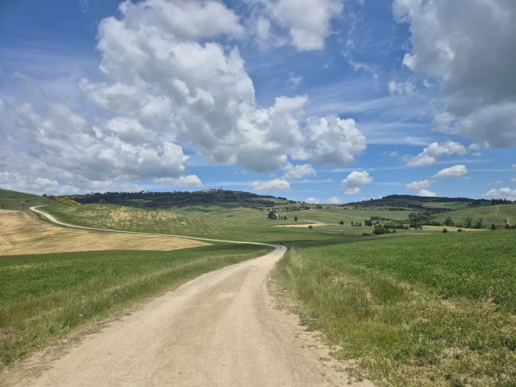
We walked around 1.8 km on tarmac along the SS2 state highway and then the SP53 provincial road before reconnecting with the SQ15 trail. Turning left, we headed north-east on a gravel road towards Pienza. The signpost at the trail junction indicated that we were 6 km and 145 minutes from town.
The long, steady approach to Pienza was one of the most enjoyable sections of the entire trip. The town sat high on a ridge and appeared on the horizon more than 4 km out. We followed a track winding around rolling hills and cutting through wheat fields, with wide-open views in every direction for well over an hour.
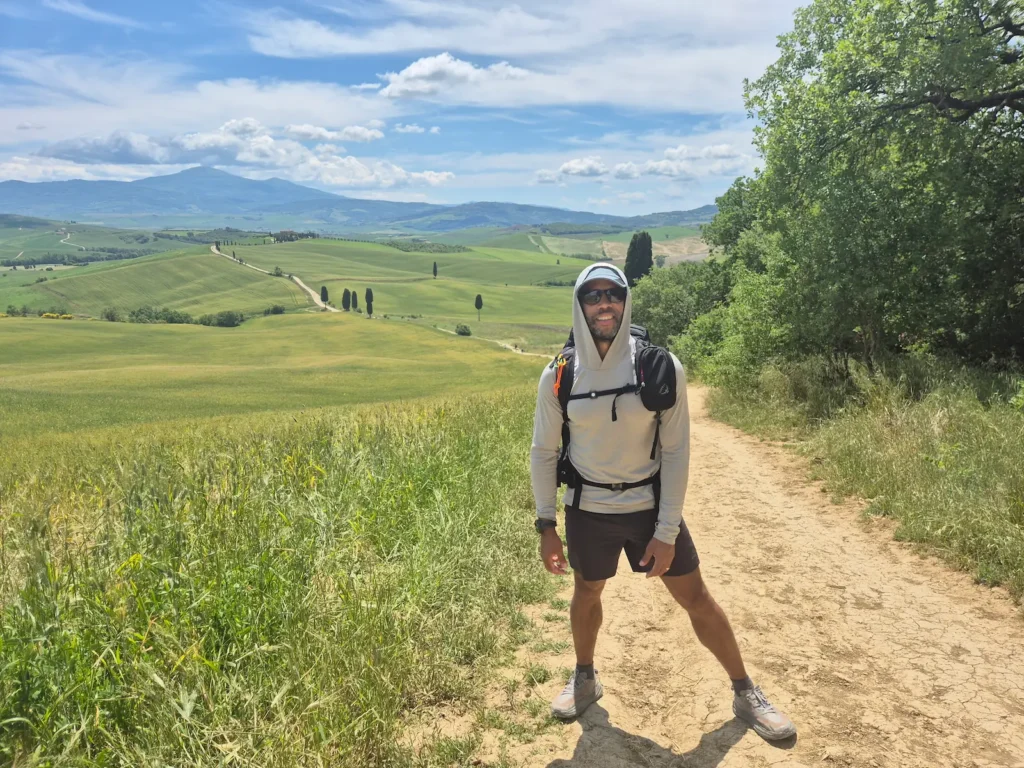
The final kilometre into Pienza was fairly steep, with the path climbing about 140 m. Once we reached the top of the ridge, the views looking back across the colourful fields and the winding track were particularly impressive. It was our favourite approach to any town or village on the trip.
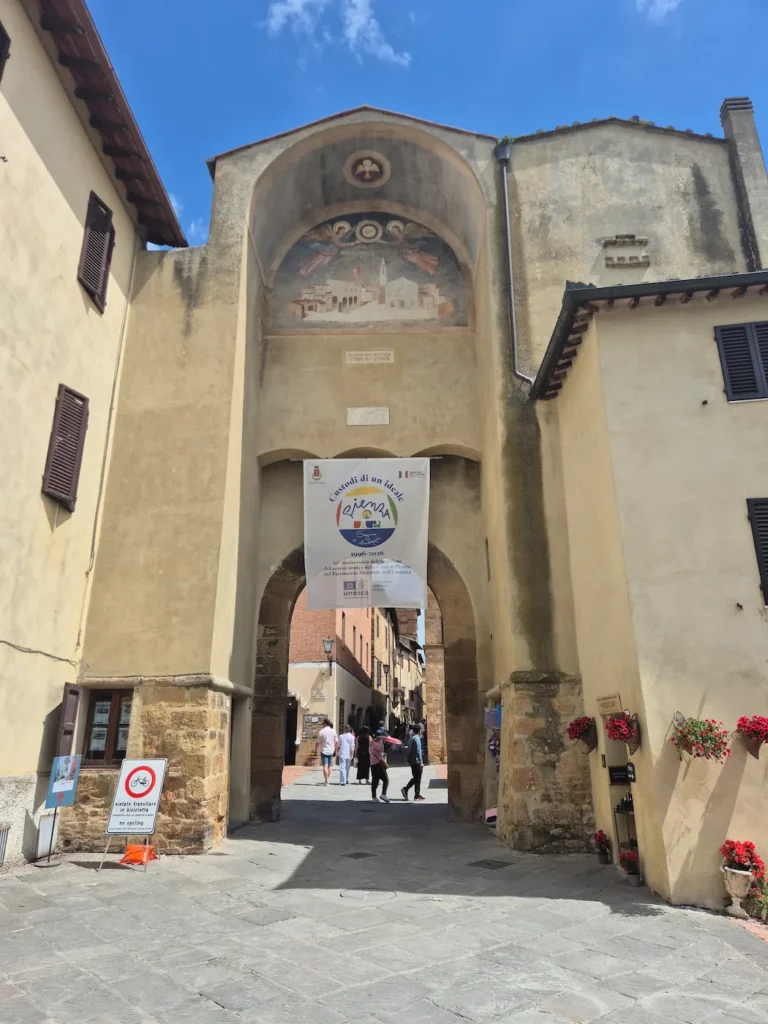
We arrived through Porta al Prato (also known as Porta al Murello), a 15th-century gate and one of the main historical entrances, at 2:20 PM. We found a lively restaurant nearby, where we had pizza while waiting to check in at our guesthouse.
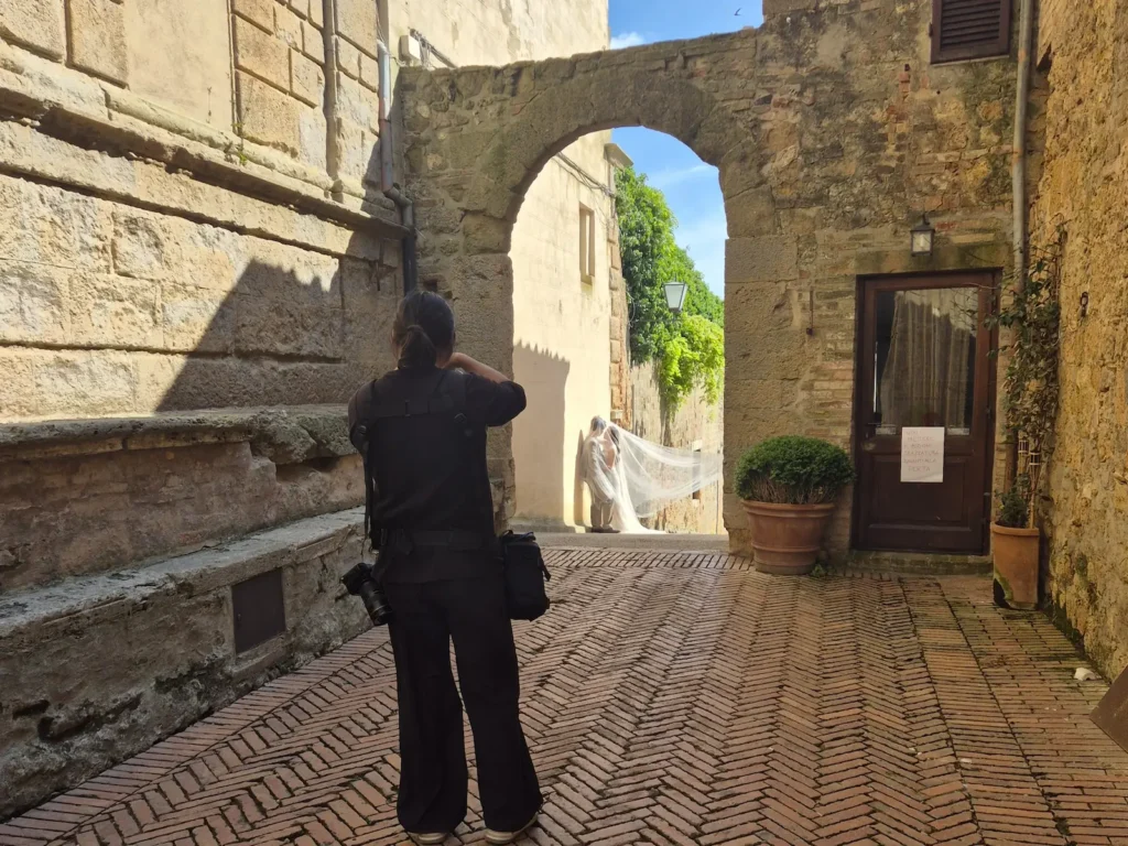
As a small town and a UNESCO World Heritage Site, Pienza was noticeably busier than the other places we had visited in Tuscany. It attracts many visitors looking to take photos against the region’s iconic backdrops. For us, it lacked the distinctive character of the other towns and villages we had stayed in.
Pienza
Pienza originated as the medieval village of Corsignano, a small agricultural settlement recorded as early as the 9th century. Like many hilltop communities in southern Tuscany, it developed modest stone walls between the 12th and 13th centuries, reflecting the need for local protection rather than a military role.
Corsignano remained a quiet rural outpost defined by agriculture and sheep farming, never becoming an independent commune or playing a part in the conflicts between Siena and Florence.
In the mid-15th century, the village was completely redesigned according to humanist ideals. This transformation gave Pienza its distinctive identity, turning a small rural community into one of the earliest and most complete surviving examples of Renaissance urban planning.
After Siena fell to Florence in 1555, Pienza became part of the Grand Duchy of Tuscany, later coming under the House of Lorraine until Italian unification in 1860. Despite these political shifts, the town remained agricultural at its core.
Today, Pienza’s economy still reflects this deep rural tradition – most famously through its pecorino cheese – now supported by cultural tourism and its status as a UNESCO site.